

Infrastructure and route surveying
Corridor maps, long and cross sections and line setting out for roads, water, sewer and energy routes.
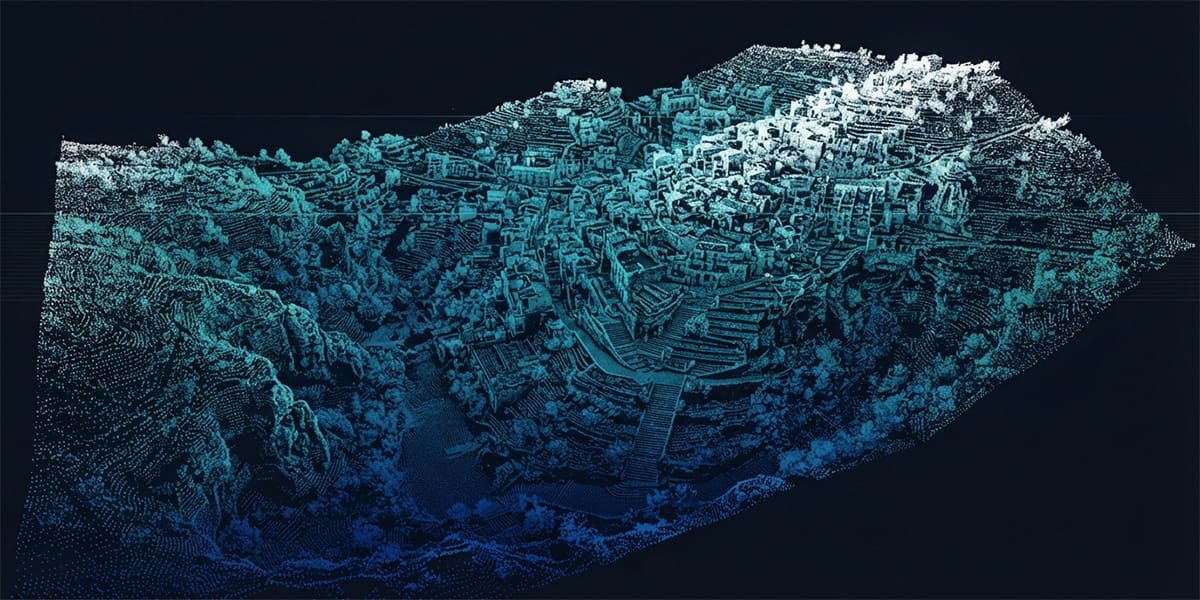 Route point cloud
Infrastructure runs along long, narrow corridors: kilometres of road, water main or sewer. Surveying covers both the corridor map for design and making sure the line goes in at the right place and gradient during construction.
A drone records a wide strip along the route quickly; GNSS completes setting out, checks and as-built surveys to the centimetre.
- Corridor base map along the route
- Long sections and cross sections
- Earthworks volumes
- Line, centre line and manhole setting out
- As-built survey of installed lines
Corridor mapping and sections
Route projects map a strip of set width rather than a whole area. The drone captures it with a corridor flight plan; existing roads, structures, poles and levels are drawn from the orthophoto and point cloud, and details the camera cannot see are completed with GNSS. Long and cross sections from the model feed vertical alignment design and earthworks quantities.
Setting out and as-built
Centre lines, manholes and valve points are set out by GNSS/RTK. Level control matters most on gravity sewers, where a few centimetres of gradient error disrupts flow. Once laid, the line's true position and levels are surveyed before backfill — the only reliable way to find it again later.
What you receive
| Deliverable | Format | Use |
|---|---|---|
| Corridor base map | DWG / NCZ | Route design base |
| Long / cross sections | DWG / PDF | Vertical alignment, gradients |
| Volume report | PDF + XLSX | Earthworks |
| Route orthophoto | GeoTIFF / ECW | Existing conditions |
| As-built drawing | DWG / SHP | Line record, GIS |
Methods we use for this work
Frequently asked questions
How wide should the corridor be?
It depends on the project: wide enough for land take and slopes on roads, or the working strip and nearby structures on pipelines. It is agreed with the designer during scoping.
When should the as-built survey happen?
After the line is laid and before the trench is backfilled. Once covered, position and level can only be found indirectly and with less certainty.
Get a quote for your project today
Tell us what you need and our survey engineers will propose the best solution.

