The basics of UAV photogrammetry and its role in survey engineering.
What is Drone Mapping?
Traditional map production methods require a significant amount of time and fieldwork depending on the size of the terrain and the accuracy required by the project. With the introduction of unmanned aerial vehicles (UAVs) into the field of surveying, it has become possible to capture large areas in a short time and produce precise positional data from these images.
Today, drone mapping — commonly referred to as drone mapping — is one of the fundamental data collection methods in surveying engineering. It is used for tasks such as topographic map production, terrain modeling, volume calculations, and periodic change monitoring; as well as in construction, mining, infrastructure, energy, agriculture, and municipal projects.
However, taking aerial photographs with a drone is not the same as producing a map using a drone. Mapping requires an engineering process beyond high-resolution imagery: flight planning, ground control, photogrammetric processing, and quality control must be properly designed, as these determine the positional accuracy of the resulting product.
What Is UAV Photogrammetry?
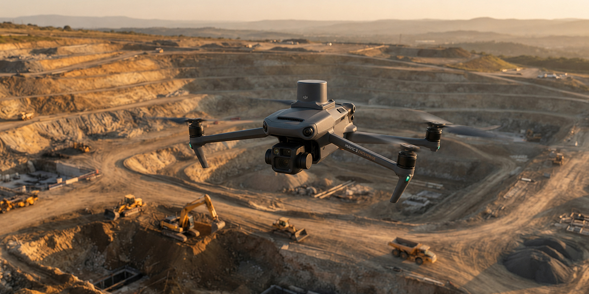
UAV photogrammetry is the method of capturing images of terrain from different angles and at a specific overlap ratio using a camera integrated onto a UAV, and converting these images into three-dimensional positional data using photogrammetric software.
Basically, the system works according to the following principle:
UAV + Camera + Positioning Data + Ground Control + Photogrammetric Processing = Measurable 3D Terrain Data
The drone follows a predetermined flight route and captures numerous photographs of the terrain. Because there is sufficient overlap between the photographs, the software matches the same terrain points across different images. These matches and camera positions are jointly adjusted to create the three-dimensional geometry of the terrain.
How Is Drone Mapping Performed?
A successful mapping project does not begin when the drone takes off. There is a systematic process that determines the accuracy of the survey and the quality of the map to be produced.
1. Terrain and Project Analysis
First, the area to be mapped is examined. The purpose of the project, the size of the area, terrain characteristics, required accuracy level, and type of data to be produced are determined.
For example, in an excavation site, the priority may be volume calculation and a digital terrain model, while in a construction project, elevation information, orthophotos, and topographic details may be more important. The flight plan and surveying method are designed according to these requirements — not the other way around.
2. Flight Planning
The UAV's flight altitude, flight lines, image overlap ratios, and camera parameters are determined at this stage.
Flight altitude directly determines the GSD (Ground Sampling Distance) value. GSD is the dimension on the ground represented by one image pixel. For example, with a typical mapping camera equipped with a 1" sensor, a flight conducted at an altitude of 100 meters results in a GSD of approximately 2–3 cm; as altitude increases, GSD increases and the detail that can be distinguished decreases.
GSD also determines the upper limit of achievable accuracy. The generally accepted approach is that, in a well-designed project, horizontal accuracy is on the order of 1–3 times the GSD. In other words, expecting millimeter-level accuracy from a project operating at 2.5 cm GSD is not realistic.
3. RTK / PPK and Positioning
In modern mapping UAVs, RTK and PPK technologies are used to precisely determine the camera positions at the moment photographs are captured.
RTK (Real Time Kinematic): The drone uses corrections received in real time from a base station or fixed GNSS networks during flight and calculates its position in real time.
PPK (Post Processed Kinematic): Corrections are applied after the flight rather than during it, in the office environment. Since it does not require a live correction connection, it is preferred in rural areas with weak GSM coverage, quarries, and deep valleys.
There is an important point here:
Using RTK alone does not mean that every point on the map will have centimeter-level accuracy.
RTK/PPK only improves the position of the camera in space. Final accuracy is determined collectively by camera calibration, antenna–camera offset (lever arm), accuracy of the timestamp at the moment of image capture, satellite geometry, flight planning, coordinate system and transformation parameters, ground control points, and the quality of photogrammetric processing.
Therefore, in precision engineering projects, the survey should be evaluated as a whole rather than relying solely on the drone's RTK capability.
4. Measurement of Ground Control Points
Ground control points (GCPs) are points whose coordinates have been precisely measured on the terrain and which can be easily identified in aerial photographs. They ensure that the photogrammetric model is correctly aligned with the national coordinate system.
The following factors are considered when planning effective GCPs:
- Distribution: Points are distributed evenly across the corners and interior of the work area; points concentrated only along one edge can cause a bending (bowling/doming) effect in the model.
- Elevation difference: Placing points in areas with elevation differences also significantly improves vertical accuracy.
- Target size: The ground marker must be sufficiently large according to the GSD so that it can be clearly identified in the imagery.
- Independent check points: These are points that are not included in the adjustment and are used only to test the result. An accuracy claim can only be demonstrated through these points — using root mean square error (RMSE).
A model produced without ground control points may appear visually flawless; this does not mean that it is correctly positioned.
5. Data Collection with a UAV
After the flight plan has been created and control measurements have been completed, the drone follows the planned route and collects the imagery.
Factors that directly affect image quality include the characteristics of the camera sensor (pixel size is more decisive than megapixel count), flight altitude, flight speed and shutter speed (motion blur), and lighting conditions.
Rapidly changing light, strong shadows, reflective surfaces, and moving objects make photogrammetric matching more difficult. If vertical surfaces (building facades, slope faces) need to be modeled, oblique image acquisition is planned in addition to vertical (nadir) imagery.
Therefore, flights are planned not only according to weather conditions but also according to measurement quality.
6. Photogrammetric Processing: From Photographs to a 3D Model
The images obtained from the field are imported into photogrammetric software. The software first identifies common points between photographs and then solves the relative positions and orientations of the images through bundle adjustment. Ground control points are incorporated into the model at this stage.
Afterwards, a dense point cloud is generated. A point cloud is a digital dataset in which the terrain is represented by numerous three-dimensional points and is the source of all other outputs.
The main outputs produced during this process are:
- Dense point cloud
- Digital Surface Model (DSM)
- Digital Terrain Model (DTM)
- Orthophoto
- 3D mesh model
- Contour lines
- Cross-sections
- Area and volume calculations
7. Quality Control and Delivery
The work is not finished when production is complete. Deviations at independent check points are calculated, model deformation and gaps are inspected, and the coordinate system and transformation are verified. Accuracy values are numerically stated in the delivery report.
This is precisely where the difference between an engineering deliverable and a visual output arises.
Digital Surface Model and Digital Terrain Model
Two commonly encountered concepts in photogrammetric work are DSM and DTM.
Digital Surface Model (DSM) represents the elevations of buildings, trees, vehicles, and other elements on the surface together with the terrain.
Digital Terrain Model (DTM), on the other hand, aims to represent the bare terrain surface after removing these elements.
For example, a DSM produced at a construction site also includes container offices, construction machinery, and structures under construction; for cut-and-fill calculations, a DTM cleared of these elements is used.
Legal Framework for Drone Mapping
In Türkiye, conducting commercial surveying with a UAV is not only a technical but also an administrative process. The legal usability of the published map depends on fulfilling these requirements.
Aviation regulations. The new Unmanned Aircraft Systems Directive (SHT-İHA) of the General Directorate of Civil Aviation entered into force on July 30, 2026. With the directive, pilot licenses were classified as P0 (amateur), P1 (commercial within visual line of sight), and P2 (beyond visual line of sight and high-risk operations). Flight permissions were linked to the zones on the İHATTYS map; in green zones, no additional permission is required provided that the specified conditions are met. Existing document holders were granted a transition period until July 31, 2027. Commercial mapping flights require a P1 or P2 license; UAVs must be registered.
Surveying regulations. The General Directorate of Land Registry and Cadastre's directive dated 27.03.2019, Principles for Cadastral Detail Measurements, Map Production and Control Using UAV Systems, regulates the principles for map and orthophoto production using UAVs. For projects covering military restricted areas, permission must be obtained from the General Command of Mapping; this permission is not required for projects that do not cover such areas. Permission from the General Directorate of Civil Aviation or the relevant regional administrative authority is required for aerial image acquisition.
Production standard. Large-scale map production falls under the Regulation on the Production of Large-Scale Maps and Map Information (BÖHHBÜY). The produced data must comply with the national coordinate system (TUREF/ITRF, 3° zones) and meet the accuracy limits stipulated by the regulation.
In practice, this means that three questions must be answered before starting a project: Which permission zone does the area to be flown fall within? Do the pilot and UAV have the required documentation? According to which standard will the produced map be delivered?
The Role of Drone Mapping in Surveying Engineering
Drone technology is not a system that completely replaces conventional surveying methods.
A more accurate approach is to regard UAV photogrammetry as a powerful data collection technology that complements the existing surveying and positioning methods of surveying engineering. GNSS measurements, total station (electronic theodolite) surveys, conventional topographic measurements, and UAV photogrammetry are used together within the same project.
For example, while the general geometry of a large area can be rapidly extracted using a drone, critical details, enclosed areas, and points that are not within line of sight are additionally surveyed using GNSS or a total station.
This hybrid approach both shortens fieldwork time and ensures the accuracy level required by the project.
Advantages of Drone Mapping
UAV photogrammetry has significant advantages, particularly in large and open areas.
Shorter Field Time
Capturing large areas can be completed much more quickly compared with conventional point-based surveying methods.
Ability to Model Large Areas
Comprehensive data can be obtained from large work areas with a single flight or multiple planned flights.
3D Data Production
Drone imagery can be used to produce not only 2D maps, but also three-dimensional point clouds, surface models, and volume data.
Repeatable Measurements
The same area can be flown again on different dates, allowing terrain and construction-site changes to be compared. This feature is particularly important for construction progress monitoring, stockpile and volume calculations, and excavation work.
Safer Fieldwork
The ability to collect data remotely in difficult-to-access, steep, or hazardous areas reduces the risks to field personnel.
Limitations of Drone Mapping
Like every method, UAV photogrammetry also has limitations. Choosing the correct method begins with understanding these limitations:
- Dense vegetation: The ground cannot be observed beneath closed vegetation cover; in such areas, the knowledge and experience of both the drone pilot and the engineer who will transfer the measurements into the computer environment are important.
- Water surfaces: Water cannot be modeled because it does not provide texture that can be matched.
- Homogeneous surfaces: Matching is weak on textureless surfaces such as snow, sand, and fresh asphalt.
- Enclosed and covered details: Areas beneath eaves, beneath trees, inside buildings, and enclosed culverts cannot be captured.
- Weather conditions: Strong winds, precipitation, and low light limit flight operations.
- Range and duration: Battery capacity increases the number of flights required over very large areas.
- Authorization limits: Operations forming the basis for cadastral registration are subject to the relevant legislation and authorized institutional processes.
In these situations, the solution is not to abandon the drone completely, but to design the surveying method correctly.
Which Projects Use Drone Mapping?
UAV photogrammetry is used for a wide variety of purposes across different sectors:
- In surveying and cadastral works: Existing-condition maps, terrain modeling, and detail extraction
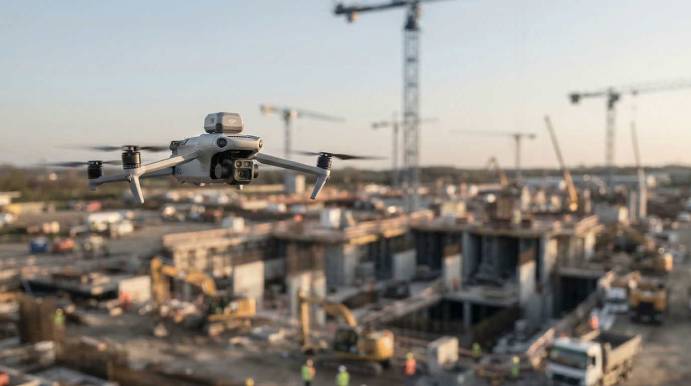
- In construction projects: Construction-site monitoring, existing-condition surveying, cut-and-fill analysis, and construction progress control
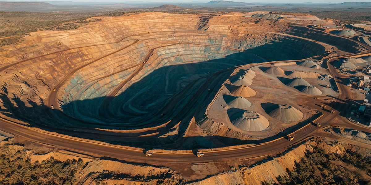
- In mining and quarries: Stockpile volumes, quarry geometry, slope analysis, and periodic change monitoring
- In infrastructure projects: Existing-condition analysis of road, canal, and corridor projects
- In energy projects: Surveying and existing-condition measurements of energy transmission lines, solar power plant (GES) and wind power plant (RES) sites
- In agricultural areas: Terrain modeling, drainage analysis, and monitoring periodic changes in areas
- In municipal projects: Planning base maps, existing-condition determination, and urban transformation surveys
- In excavation and stockpile areas: Calculation of material volumes and periodic stockpile monitoring
What Does the Accuracy of Drone Mapping Depend On?
The accuracy of a drone mapping project is not determined by the drone model or the megapixel value of the camera. Accuracy is the result of four interconnected groups of factors.
Image quality: Camera and lens characteristics, sensor pixel size, camera calibration, flight speed and shutter speed (motion blur), lighting, and weather conditions.
Flight geometry: Flight altitude and GSD, forward and side overlap ratios, flight-line arrangement, and oblique imagery when necessary.
Positioning and control: RTK/PPK solution, GNSS observation quality (satellite geometry/PDOP, baseline length, fixed solution), number, distribution, and measurement quality of ground control points, and the accuracy of the coordinate system and transformation parameters.
Processing and verification: Photogrammetric software and processing parameters, terrain structure and surface characteristics, accuracy analysis performed using independent check points, and reporting.
Therefore, in a professional mapping project, saying "a drone flight was conducted" is not sufficient. The accuracy claim must be documented with numerical results from the control points.
Drone Mapping Is More Than Taking a Photograph
Drone mapping is fundamentally not an aerial photography application. It is the process of combining camera imagery with geometric and positional information and transforming it into measurable engineering data.
With a properly planned UAV photogrammetry project, large areas can be captured in a short time, three-dimensional models can be created, and data from different periods can be compared.
However, for the resulting data to be considered a surveying engineering product, the coordinate system, accuracy, control measurements, legal permissions, and data production standards must comply with the project requirements.
Therefore, the real value in drone mapping services does not lie in the UAV being used; it lies in conducting the entire process — from flight planning and field surveying to photogrammetric processing and quality control — in accordance with surveying engineering principles.
Professional Drone Mapping Service
As Pivot Harita Mühendislik, we provide UAV photogrammetry and GNSS surveying services throughout Türkiye, primarily in Aydın and the Aegean Region. We produce orthophotos, point clouds, digital surface and terrain models, contour lines, and volume calculations with accuracy appropriate to project requirements. Our experience and mobility in challenging terrain and weather conditions provide us with high speed and accuracy. We can also develop specialized solutions for previously encountered problems and, together with our software team, develop new software or calculation methods, striving to stay one step ahead of the industry.
Let us determine the appropriate surveying method, flight plan, and data production methodology together according to the needs of your project.
Author: Surveying Engineer Yavuz GİRGİN
Frequently asked questions
How accurate are the results of drone mapping?
Accuracy depends on the GSD and the surveying setup. In a study planned at an appropriate altitude and supported by ground control points, centimeter-level accuracy can be achieved. This value is not the same for every project and should not be stated without verification using independent check points.
If the drone has RTK, are ground control points still necessary?
RTK improves camera positioning but does not independently verify the result. In projects requiring high accuracy and having legal consequences, at least independent check points should be used.
How much area can be flown in one day?
The area size varies depending on the targeted GSD, terrain characteristics, overlap ratios, and altitude restrictions arising from regulations. Flight planning carried out before the project determines this duration precisely.
Is permission required for commercial drone flights?
Yes. Under the SHT-İHA, which entered into force on July 30, 2026, commercial flights require a P1 or P2 license, UAVs must be registered, and the applicable authorization process depends on the area where the flight will be conducted.
What is the difference between DSM and DTM?
DSM includes all surface features such as buildings, trees, and vehicles, whereas DTM represents the bare terrain surface with these features removed. DTM is generally used as the basis for cut-and-fill and volume calculations.
Sources
The technical figures in this article are based on the sources below.
- Wingtra — Ground sample distance: what GSD means for drone surveys
- GPS.gov — GPS Accuracy (U.S. Space Force / official)
- SHGM — İnsansız Hava Aracı Sistemleri Talimatı (SHT-İHA)
- SHGM — İnsansız Hava Aracı Kayıt Sistemi
- Lubello et al. (2019), Remote Sensing 11(12):1471 — UAV photogrammetric surveying of stockpiles