

Drone mapping for agricultural land
An up-to-date image of the field, an elevation model and a slope map: measured data for levelling, drainage and irrigation decisions.
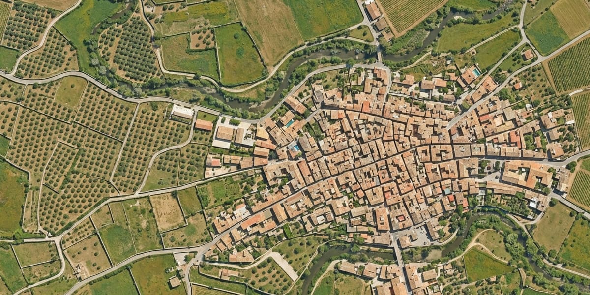 Farmland orthophoto
Where does water flow, which parts of the field sit low, how much soil must move to level it? The answers lie in the field's elevation, and they come from measurement, not from looking.
A single drone flight produces a high-resolution orthophoto and a centimetre-level elevation model — the base for irrigation and drainage design, levelling plans and field layout.
- Field orthophoto and current-state map
- Elevation model, slope and flow analysis
- Cut-and-fill volumes for levelling
- Base maps for irrigation and drainage design
- Pond and reservoir volumes
Levelling and drainage
Even a field that looks flat can have differences of tens of centimetres that pond water and cut yields. The elevation model shows them as a colour map and gives the soil volume needed to level; flow directions from the same model show where drainage should run.
Orchards and large holdings
On sloping, scattered plots such as the Aegean's olive, fig and fruit orchards, a drone captures in a short time what would take days on foot. Boundaries, tracks, buildings and tree rows can be drawn on the orthophoto.
Limits
These surveys are for planning and design. Official property boundary procedures are carried out by licensed LİHKAB offices or the Cadastre Directorate.
What you receive
| Deliverable | Format | Use |
|---|---|---|
| Orthophoto | GeoTIFF / KML | Current field image |
| Elevation model | GeoTIFF | Slope and flow analysis |
| Slope / level map | Field-ready output | |
| Levelling volume report | PDF + XLSX | Cut-and-fill quantities |
| Base drawing | DWG / NCZ | Irrigation and drainage design |
Methods we use for this work
Frequently asked questions
Can a cropped field be surveyed?
Yes, but the crop sits on top of the ground in the elevation model. For levelling and drainage, the best results come from bare soil after harvest or before planting.
Do you do multispectral crop health analysis?
Our work focuses on survey and mapping: orthophotos, elevation models and analyses derived from them. Please mention up front if you need crop health sensing.
Get a quote for your project today
Tell us what you need and our survey engineers will propose the best solution.
