

Planning
We analyze project needs and prepare the flight and survey plan.

We produce high-accuracy maps, orthophotos and 3D models with drone and GNSS technology. End-to-end survey engineering, from field to delivery.
We combine modern UAV and GNSS systems with an experienced engineering team to deliver accurate, fast and reliable results.
UAV photogrammetry for high-resolution orthophotos, surface models and 3D models. Cover large areas in a fraction of the time.
Orthophoto · DSM · DTM Learn MoreCentimeter-accurate GNSS/RTK surveys; cadastral work, stake-out and control point measurements.
RTK · NTRIP · Cadastral Learn MoreTopographic mapping, volume calculations and mine site surveys. Reliable data to support your decisions.
Volume · Sections · Contours Learn MoreWe run every project with a transparent, repeatable workflow.
We analyze project needs and prepare the flight and survey plan.
We collect precise field data with drone flights and GNSS measurements.
We process data into orthophotos, point clouds and 3D models.
We deliver CAD/GIS-ready outputs together with reports.
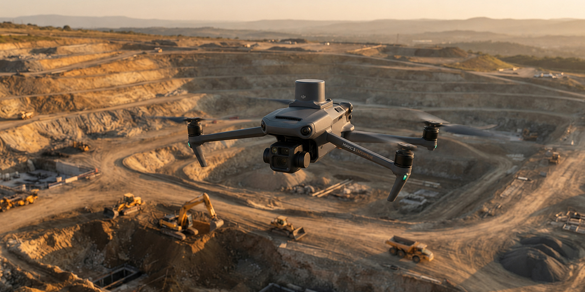 UAV photogrammetry
We use the latest drone and GNSS hardware in the field and powerful data-processing software in the office — so results are both fast and reliable.
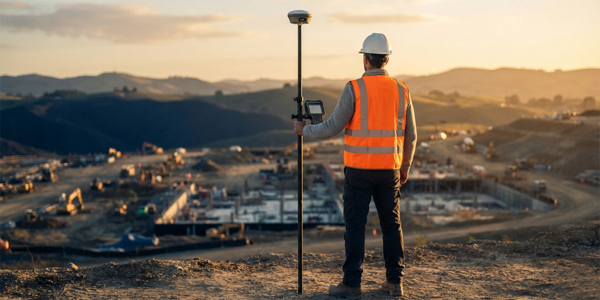
Keep your site under control with earthworks tracking, stake-out, as-built surveys and progress reports.
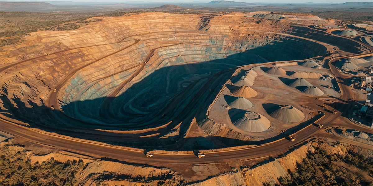
Manage production with stockpile and excavation volumes, slope monitoring and periodic site surveys.
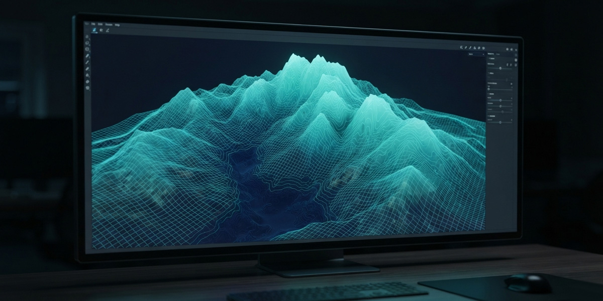
Terrain modelling, route studies and installation stake-out for solar and wind sites.
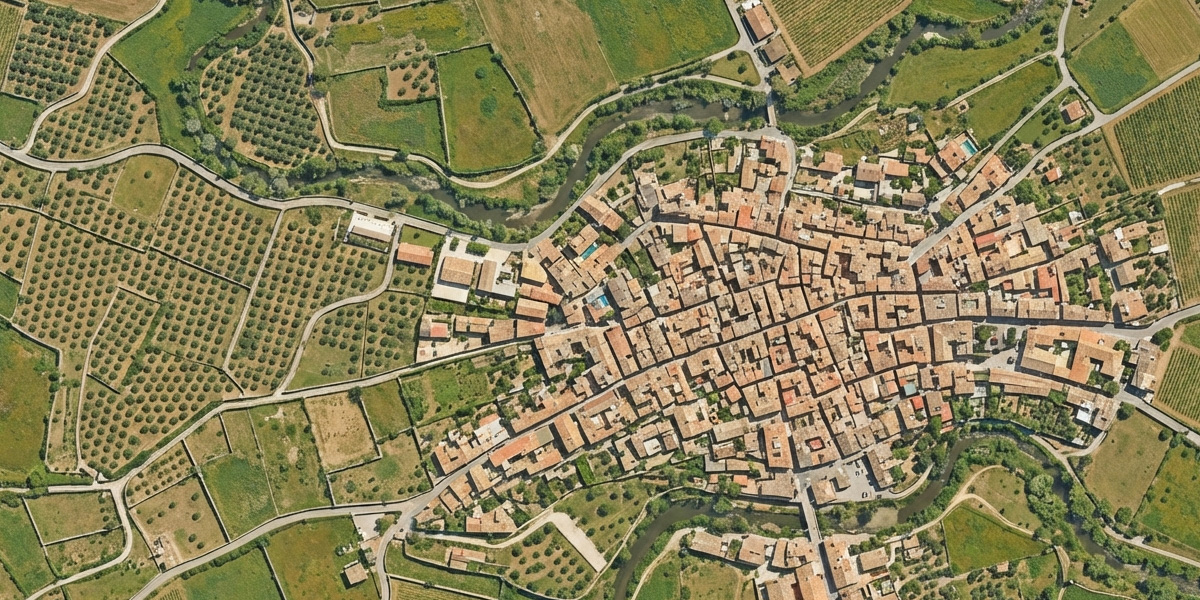
Parcel-based mapping, land levelling plans and base data for irrigation projects.
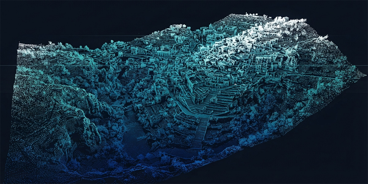
Route surveys, strip maps and cross-sections for roads, water and sewer lines.
Base maps, zoning applications and up-to-date data for urban information systems.
On every project we deliver industry-standard outputs that speed up your decision-making.
High-resolution, georeferenced orthophoto imagery.
Scaled three-dimensional models of terrain and structures.
Dense point clouds and digital elevation models.
Tell us what you need and our survey engineers will propose the best solution.
The basics of UAV photogrammetry and its role in survey engineering.
A short look at the technology behind centimeter accuracy.
Fast and reliable volume measurement for mine and stockpile sites.
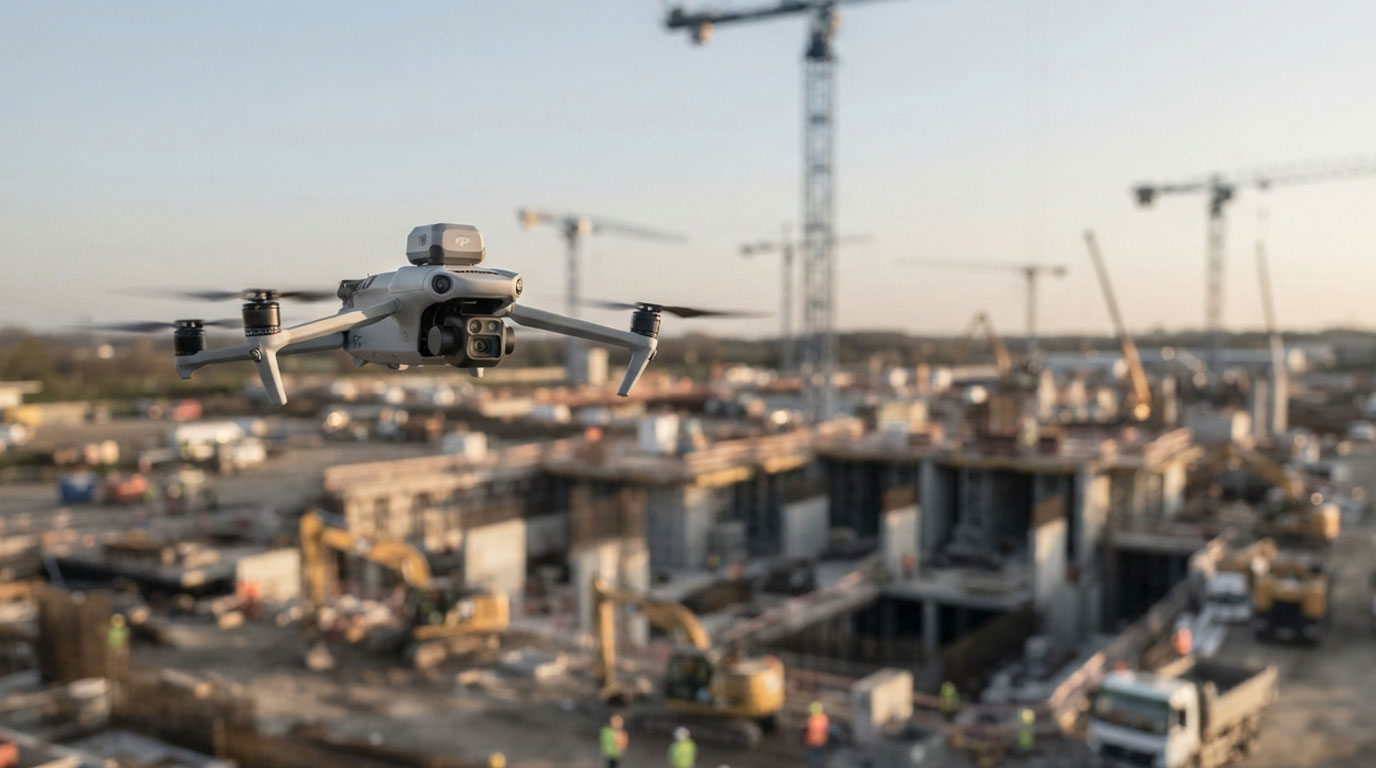
UAV photogrammetry can be used not only for the visual monitoring of construction progress, but also for transferring the generated point clouds into a 4D BIM environment and comparing them against the project schedule.