

Latest articles & insights
Guides and articles on drone mapping, GNSS technology and survey engineering.
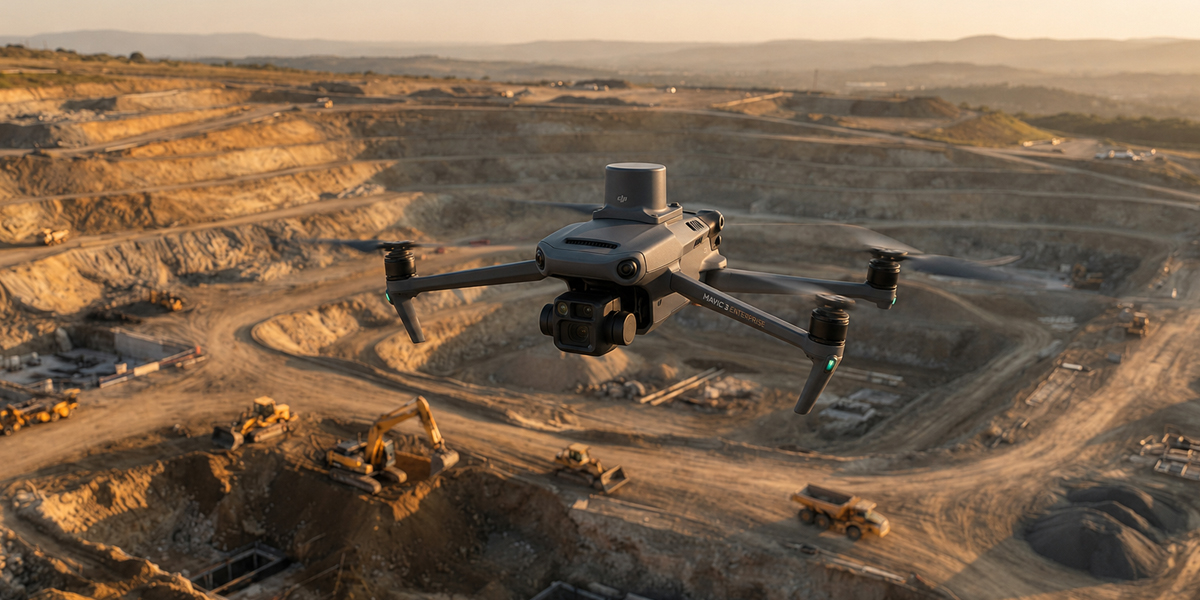
What is drone mapping?
The basics of UAV photogrammetry and its role in survey engineering.
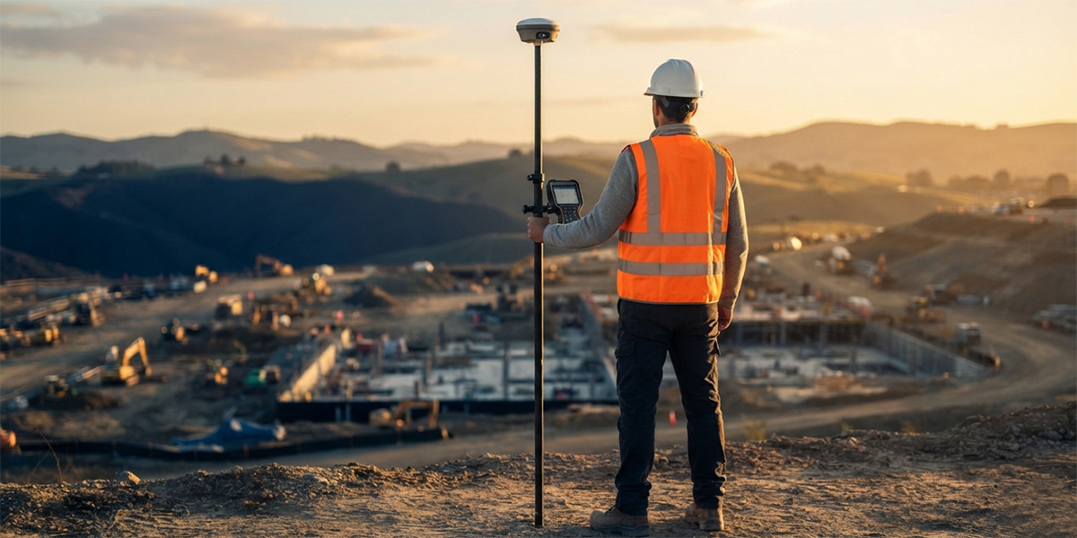
How do GNSS and RTK work?
A short look at the technology behind centimeter accuracy.
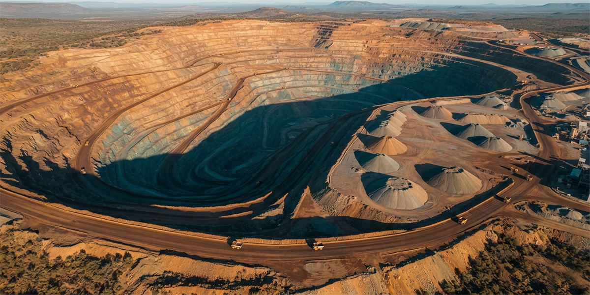
Drone advantages in volume calculation
Fast and reliable volume measurement for mine and stockpile sites.
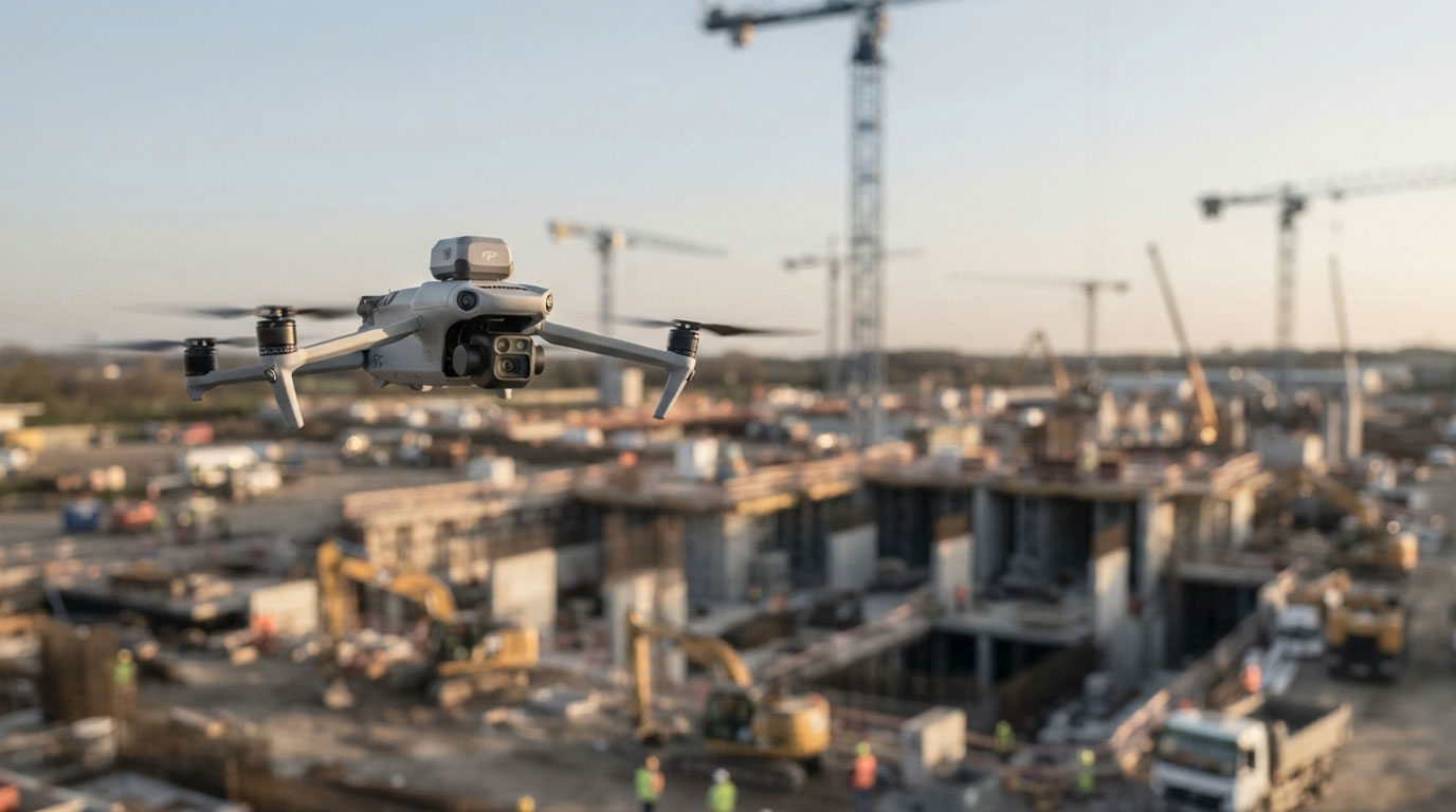
Why Has Drone-Based Construction Site Monitoring Become the Standard?
UAV photogrammetry can be used not only for the visual monitoring of construction progress, but also for transferring the generated point clouds into a 4D BIM environment and comparing them against the project schedule.
Get a quote for your project today
Tell us what you need and our survey engineers will propose the best solution.