

Topographic & Volumetrics
Topographic mapping, volume calculation and mine site surveys.
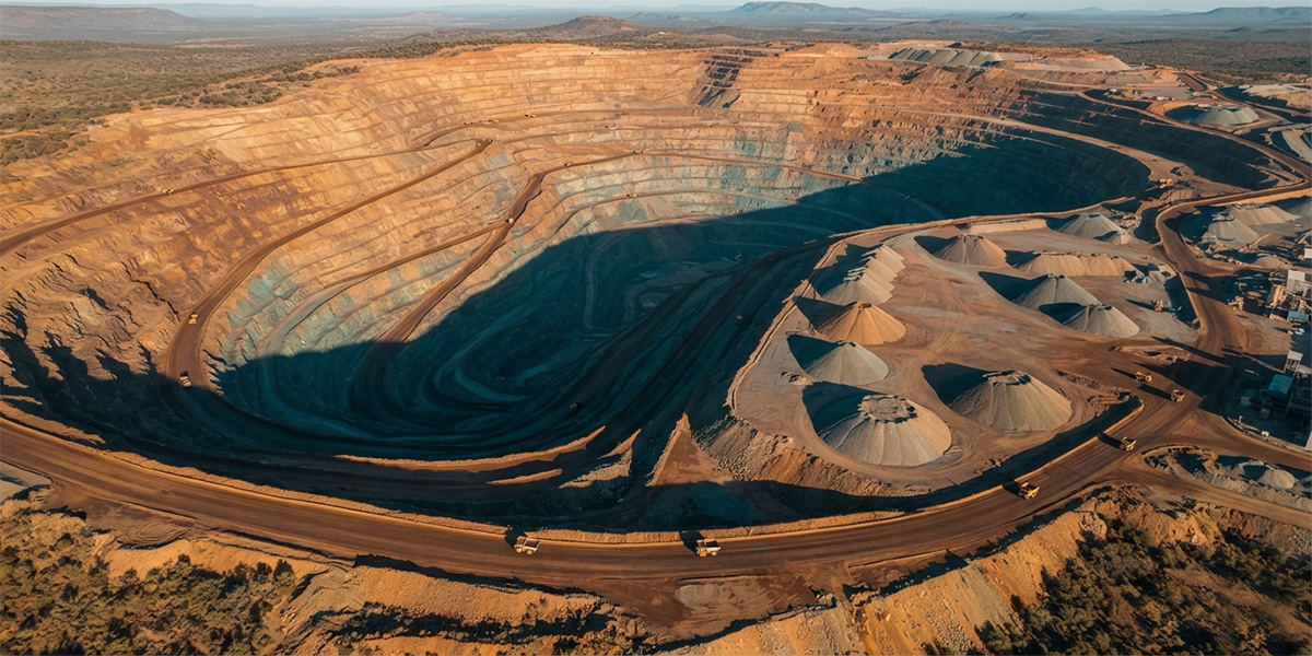 Mining & volume calc
Overview
Topographic & Volumetrics
By combining drone and GNSS data we produce detailed topographic maps and calculate cut-fill and stockpile volumes with high accuracy. We track progress on mine and construction sites with periodic surveys.
- Detailed topographic map production
- Cut-fill and stockpile volume calculation
- Periodic mine site surveys
- Contour lines and cross-sections
Scope
The value this service delivers
Volume Calc
Cut, fill and stockpile volumes.
Site Tracking
Progress control via periodic surveys.
Contours
Contour and cross-section production.
Get a quote for your project today
Tell us what you need and our survey engineers will propose the best solution.
Other Services