

Drone Mapping
We map large areas quickly and accurately with UAV photogrammetry.
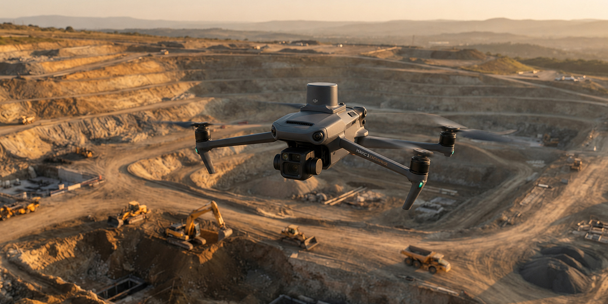 UAV photogrammetry
Overview
Drone Mapping
Using our fixed-wing and multirotor drones, we capture imagery and process it with photogrammetry software to produce centimeter-accurate orthophotos, surface and terrain models. Ground control points and RTK/PPK support guarantee the accuracy of results.
- High-resolution orthophoto and mosaic production
- Digital surface (DSM) and terrain (DTM) models
- Accuracy control with RTK/PPK and ground control points
- CAD/GIS-ready vector and raster outputs
Scope
The value this service delivers
High Resolution
Centimeter-level pixel resolution.
Wide Coverage
Hundreds of hectares in a single flight.
Fast Delivery
Processed, ready outputs in short time.
Get a quote for your project today
Tell us what you need and our survey engineers will propose the best solution.
Other Services