
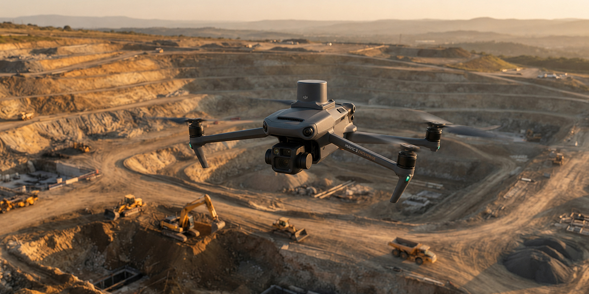
Multirotor UAVs
Photogrammetric data capture with RTK/PPK-enabled drones carrying high-resolution cameras.
- RTK/PPK positioning
- 20MP+ sensor
- Autonomous flight planning

The drone, GNSS and software stack we operate in the field. We don't sell hardware — this page shows the tools we deliver your work with.
We work with hardware and software combinations suited to each project type.
Photogrammetric data capture with RTK/PPK-enabled drones carrying high-resolution cameras.
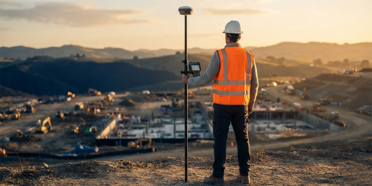
Centimeter-accurate field surveying with multi-channel, multi-constellation GNSS receivers.
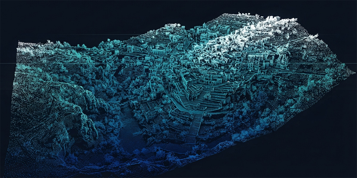
A best-in-class data pipeline built on photogrammetry and CAD/GIS software.
Note: We do not sell equipment; all hardware is used in our own operations.
We run every project with a transparent, repeatable workflow.
We analyze project needs and prepare the flight and survey plan.
We collect precise field data with drone flights and GNSS measurements.
We process data into orthophotos, point clouds and 3D models.
We deliver CAD/GIS-ready outputs together with reports.
Tell us what you need and our survey engineers will propose the best solution.