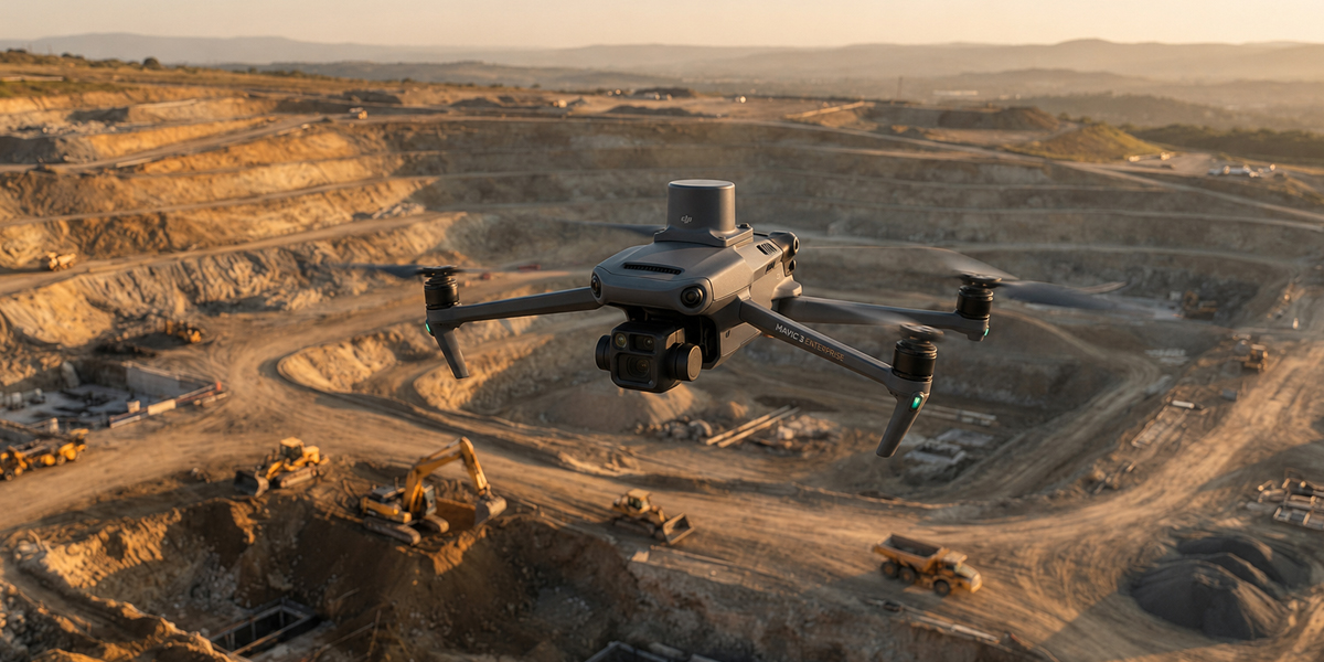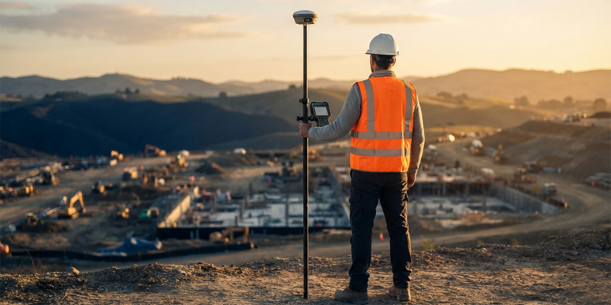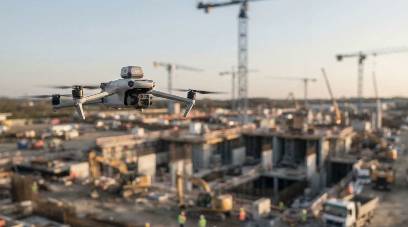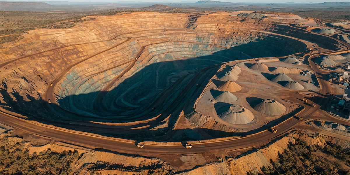
Fast and reliable volume measurement for mine and stockpile sites.
The full text of this article is being prepared.
Sources
The technical figures in this article are based on the sources below.
- Lubello et al. (2019), Remote Sensing 11(12):1471 — Monitoring and computation of stockpile volumes by UAV photogrammetric surveying
- Volume computation of a stockpile — comparing GPS and UAV measurements in an open-pit quarry
- Comparative analysis of stockpile volume estimation using UAV and GPS techniques
- Drones (MDPI) 9(7):472 — Surface change and stability analysis in open-pit mines using UAV photogrammetric data
- Pix4D — Ground sampling distance (GSD) in photogrammetry
- DroneDeploy — What is the recommended front and side overlap?
- GPS.gov — GPS Accuracy (U.S. Space Force / official)