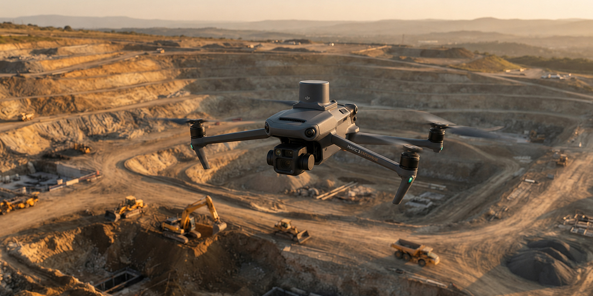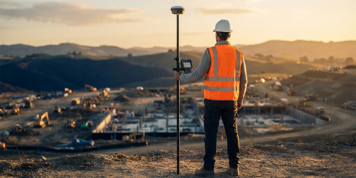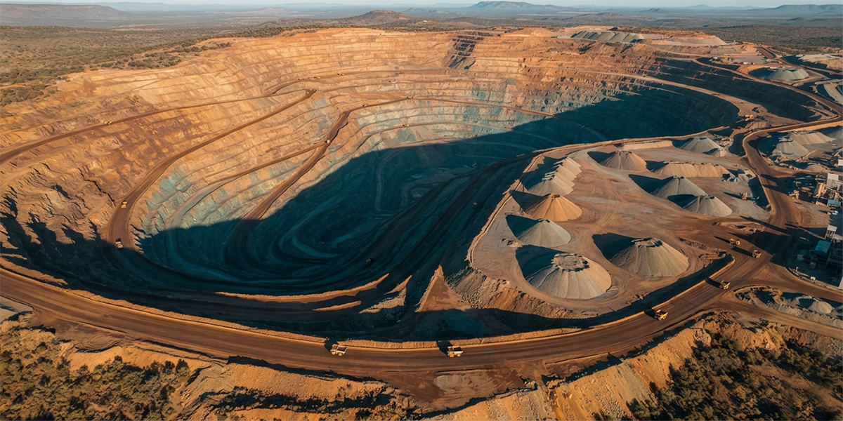
Maden ve stok sahalarında hızlı ve güvenilir hacim ölçümü.
Bu yazının tam metni hazırlanıyor.
Kaynaklar
Bu yazıda kullanılan teknik bilgiler aşağıdaki kaynaklara dayanmaktadır.
- Lubello et al. (2019), Remote Sensing 11(12):1471 — Monitoring and computation of stockpile volumes by UAV photogrammetric surveying
- Volume computation of a stockpile — comparing GPS and UAV measurements in an open-pit quarry
- Comparative analysis of stockpile volume estimation using UAV and GPS techniques
- Drones (MDPI) 9(7):472 — Surface change and stability analysis in open-pit mines using UAV photogrammetric data
- Pix4D — Ground sampling distance (GSD) in photogrammetry
- DroneDeploy — What is the recommended front and side overlap?
- GPS.gov — GPS Accuracy (U.S. Space Force / official)